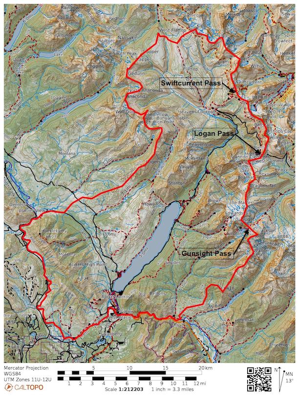
On this page, you’ll find hikes grouped first by which side of the Continental Divide they lie, then by region. Tables below contain routes within each area. There you will find a difficulty rating (based on Petzoldt’s Energy Rated Mile equation), total distance, total elevation gain and loss, and walking time (assuming 2.5 miles-per-hour with additional time for elevation gain using Naismith’s Rule). Clicking on a link will take you to the hike narrative, map, notes on history, geology, fauna, flora, and photographs.
Regions

West of the Continental Divide
East of the Continental Divide
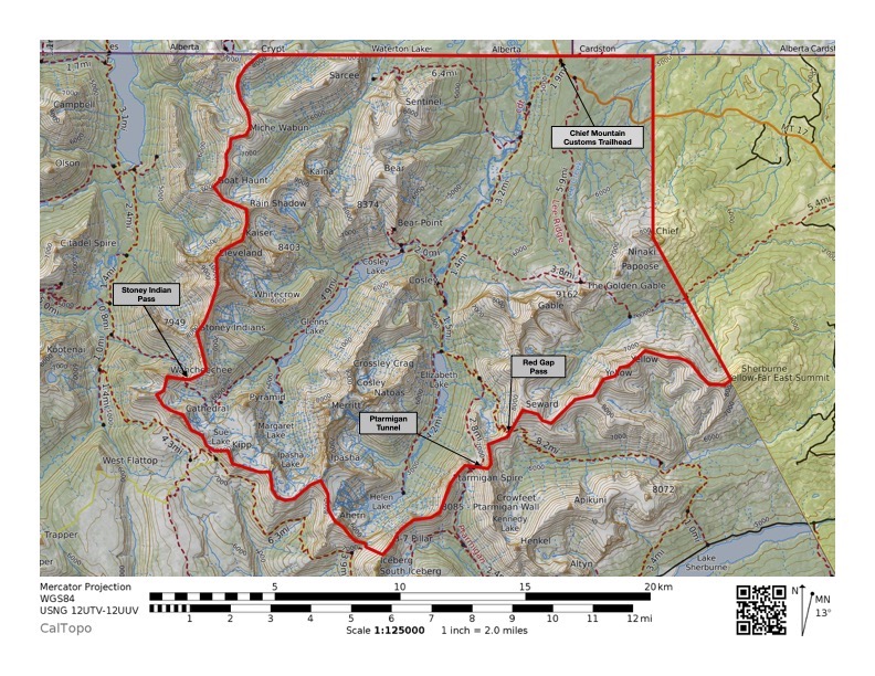
Belly River Region
| Hike | Difficulty | Total Distance (miles) | Total Elevation Gain (feet) | Total Elevation Loss (feet) | Walking Time |
|---|---|---|---|---|---|
| >Many Glacier – Ptarmigan Tunnel | 10.3 | 5.2 | 2,536 | 262 | 3h 21m |
| >Ptarmigan Tunnel – Elizabeth Lake head | 7.5 | 6.2 | 667 | 3,025 | 2h 24m |
| >Elizabeth Lake head – Helen Lake | 5.8 | 5.2 | 294 | 127 | 2h 14m |
| >Elizabeth Lake head – Poia Lake | 18.1 | 11.7 | 3,215 | 2,352 | 6h 17m |
| >Poia Lake – Red Gap Pass Trailhead | 8.5 | 6.5 | 997 | 1,867 | 3h 06m |
| *Goat Haunt – Stoney Indian Lake | 12.3 | 7.2 | 2,547 | 442 | 4h 10m |
| *Stoney Indian Lake – Glenns Lake foot | 10.2 | 8.1 | 1,058 | 2,513 | 3h 46m |
| *Glenns Lake foot – Chief Mountain Trailhead | 13.2 | 10.2 | 1,502 | 1,050 | 4h 50m |
| Belly River Ranger Station | 13.2 | 12.4 | 380 | 1,009 | 5h |
| Lee Ridge & Gable Pass | 17.9 | 13.2 | 2,367 | 637 | 6h 28m |
Hikes that begin with the same symbol are different legs of a backpacking trip.
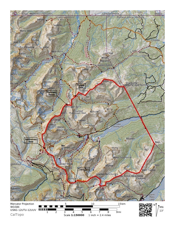
Many Glacier Region
| Hike | Difficulty | Total Distance (miles) | Total Elevation Gain (feet) | Total Elevation Loss (feet) | Walking Time |
|---|---|---|---|---|---|
| Fishercap Lake | 0.6 | 0.6 | 15 | 15 | 15m |
| Swiftcurrent Lake Nature Trail | 3.0 | 2.6 | 243 | 259 | 1h 07m |
| Apikuni Falls | 3.2 | 2.0 | 612 | 0 | 1h 06m |
| Red Rock Falls | 4.3 | 3.7 | 276 | 112 | 1h 37m |
| Bullhead Lake | 7.8 | 6.9 | 453 | 200 | 3h |
| Grinnell Lake | 8.2 | 7.2 | 491 | 468 | 3h 08m |
| Iceberg Lake | 12.9 | 9.6 | 1,634 | 489 | 4h 40m |
| Grinnell Glacier | 15.2 | 10.6 | 2,277 | 701 | 5h 22m |
| Ptarmigan Tunnel | 15.6 | 10.5 | 2,536 | 262 | 5h 38m |
| Cracker Lake | 16.7 | 13.0 | 1,870 | 833 | 6h 08m |
| Poia Lake | 16.5 | 13.1 | 1,676 | 808 | 6h 04m |
| Swiftcurrent Pass | 18.8 | 13.7 | 2,562 | 322 | 6h 47m |
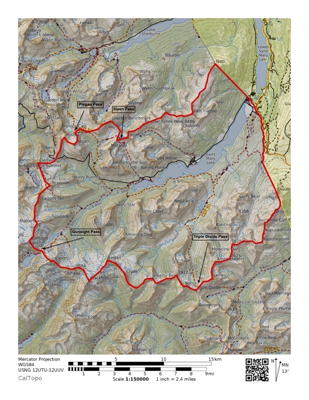
Saint Mary Region
| Hike | Difficulty | Total Distance (miles) | Total Elevation Gain (feet) | Total Elevation Loss (feet) | Walking Time |
|---|---|---|---|---|---|
| Baring Falls | 0.8 | 0.7 | 55 | 175 | 19m |
| Saint Mary Falls | 1.7 | 1.6 | 42 | 230 | 39m |
| Hidden Lake | 3.7 | 2.8 | 460 | 95 | 1h 21m |
| Virginia Falls | 3.8 | 3.1 | 356 | 247 | 1h 25m |
| Beaver Pond Loop | 4.5 | 3.4 | 502 | 505 | 1h 40m |
| Waterfall Hike | 7.7 | 6.3 | 706 | 440 | 2h 52m |
| Florence Falls | 11.1 | 9.9 | 605 | 1,010 | 4h 16m |
| Piegan Pass | 12.5 | 8.8 | 1,855 | 121 | 4h 27m |
| Siyeh Pass | 14.6 | 9.7 | 2,441 | 3,610 | 5h 06m |
| Highline & Granite Park | 14.7 | 11.4 | 1,630 | 4,014 | 5h 23m |
| Gunsight Lake | 15.3 | 13.1 | 1,118 | 1,044 | 5h 48m |
| Otokomi Lake | 15.7 | 10.9 | 2,383 | 423 | 5h 33m |
Cut Bank Region

| Hike | Difficulty | Total Distance (miles) | Total Elevation Gain (feet) | Total Elevation Loss (feet) | Walking Time |
|---|---|---|---|---|---|
| Medicine Grizzly Lake | 14.5 | 12.9 | 814 | 407 | 5h 34m |
| Morning Star Lake | 15.2 | 13.4 | 920 | 297 | 5h 50m |
| Triple Divide Pass | 19.4 | 14.2 | 2,610 | 399 | 7h |
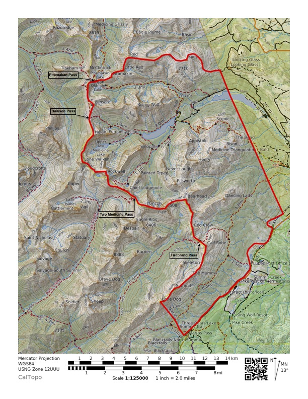
Two Medicine Region
| Hike | Difficulty | Total Distance (miles) | Total Elevation Gain (feet) | Total Elevation Loss (feet) | Walking Time |
|---|---|---|---|---|---|
| Running Eagle Falls | 0.7 | 0.6 | 39 | 7 | 15m |
| Paradise Point | 2.2 | 1.3 | 93 | 107 | 34m |
| Upper Two Medicine Lake | 5.0 | 4.2 | 416 | 118 | 1h 53m |
| Aster Falls & Park | 5.1 | 3.7 | 705 | 102 | 1h 50m |
| Rockwell Falls | 7.3 | 6.5 | 405 | 161 | 2h 48m |
| No Name Lake (one-way on Sinopah boat) | 9.7 | 7.5 | 1,408 | 1,405 | 3h 42m |
| Autumn Creek Trail (Marias Pass – Lubec Trailhead) | 11.0 | 8.5 | 1,209 | 1,309 | 4h |
| Scenic Point | 12.4 | 7.6 | 2,402 | 197 | 4h 14m |
| Firebrand Pass | 14.3 | 10.2 | 2,072 | 215 | 5h 07m |
| Cobalt Lake | 14.8 | 11.6 | 1,578 | 152 | 5h 26m |
| Oldman Lake | 16.5 | 12.8 | 1,858 | 342 | 6h |
| Dawson-Pitamakan Loop | 24.7 | 17.2 | 3,754 | 3,754 | 8h 46m |
West of the Continental Divide
Lake McDonald Region
North Fork Region
Walton Region

| Hike | Difficulty | Total Distance (miles) | Total Elevation Gain (feet) | Total Elevation Loss (feet) | Walking Time |
|---|---|---|---|---|---|
| Elk Mountain | 13.5 | 6.8 | 3,373 | 65 | 4h 24m |
| Scalplock Mountain | 16.4 | 10.0 | 3,347 | 190 | 5h 40m |
| Harrison Lake (head) | 16.9 | 14.5 | 1,217 | 722 | 6h 25m |
Lake McDonald Region
| Hike | Difficulty | Total Distance (miles) | Total Elevation Gain (feet) | Total Elevation Loss (feet) | Walking Time |
|---|---|---|---|---|---|
| Rocky Point | 1.7 | 1.5 | 83 | 190 | 38m |
| Johns Lake Loop | 2.5 | 2.0 | 249 | 252 | 55m |
| Apgar Bike Path | 3.0 | 3.0 | level | level | 1h 12m |
| Howe Lake | 3.9 | 3.2 | 330 | 114 | 1h 27m |
| McDonald Creek | 5.7 | 5.3 | 207 | 61 | 2h 23m |
| Christensen & Rogers Meadows | 7.0 | 6.4 | 296 | 273 | 2h 43m |
| Avalanche Lake (head) | 7.3 | 5.8 | 758 | 253 | 2h 42m |
| Old Flathead Ranger Station | 7.5 | 6.9 | 322 | 377 | 2h 56m |
| Fish Lake | 7.7 | 5.4 | 1,152 | 214 | 2h 45m |
| Apgar Lookout | 11.1 | 7.2 | 1,960 | 93 | 3h 52m |
| Trout Lake | 12.7 | 8.4 | 2,141 | 1,423 | 4h 26m |
| Snyder Lake | 13.0 | 8.7 | 2,147 | 142 | 4h 33m |
| Highline | 15.8 | 11.4 | 2,202 | 4,586 | 5h 40m |
| South Boundary | 16.5 | 14.6 | 964 | 831 | 6h 19m |
| Huckleberry Lookout | 17.4 | 11.5 | 2,942 | 240 | 6h 04m |
| Sperry Chalet | 19.3 | 12.3 | 3,486 | 181 | 6h 39m |
| Swiftcurrent Lookout | 23.9 | 15.7 | 4,075 | 6,435 | 8h 19m |
North Fork Region

| Hike | Difficulty | Total Distance (miles) | Total Elevation Gain (feet) | Total Elevation Loss (feet) | Walking Time |
|---|---|---|---|---|---|
| Covey Meadow | 2.1 | 1.7 | 174 | 177 | 46m |
| Hidden Meadow | 3.5 | 3.0 | 253 | 11 | 1h 20m |
| Kishenehn Ranger Station | 10.3 | 9.6 | 335 | 430 | 4h |
| Akokala Lake | 14.1 | 11.2 | 1,435 | 739 | 5h 12m |
| Numa Lookout | 17.5 | 11.5 | 2,987 | 81 | 6h 10m |
| Quartz Lake Loop | 18.7 | 13.1 | 2,779 | 2,679 | 6h 37m |
| >Kintla – Upper Kintla Lk | 13.9 | 11.5 | 1,194 | 834 | 5h 12m |
| >Upper Kintla Lk – Hole-in-the-Wall | 15.8 | 8.6 | 3,589 | 1,656 | 5h 14m |
| >Hole-in-the-Wall – Lake Janet | 8.1 | 7.0 | 554 | 1,913 | 3h 05m |
| >Lake Janet – Goat Haunt | 4.7 | 4.3 | 200 | 957 | 1h 49m |
(Hikes that begin with the same symbol are different legs of a backpacking trip.)
