
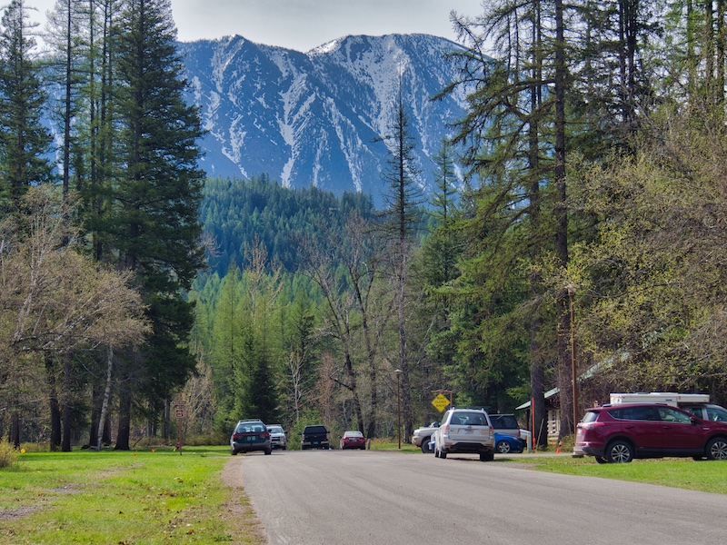
The Apgar Bike Path is one of three trails in Glacier National Park where bicycles are permitted. Of course walking is okay too. The trailhead can be found south of the Backcountry Permit Office in Apgar Village. This nearly level, paved path through a lodgepole pine forest can be surprisingly void of people. It’s suitable for many ability levels and an excellent early season option.
This can be a relaxing saunter through a forest in transition. In 1929, the 39,000-acre Half Moon Fire consumed the western hemlock/western red cedar forest that grew in the area. Now, shade intolerant pioneer species, like lodgepole pine and western larch, predominate the overstory near the trail. But given enough time and lack of disturbance, shade-tolerant species will prevail.
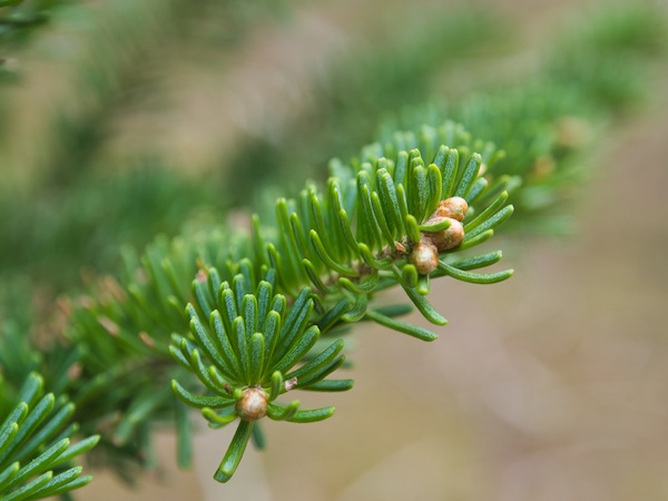
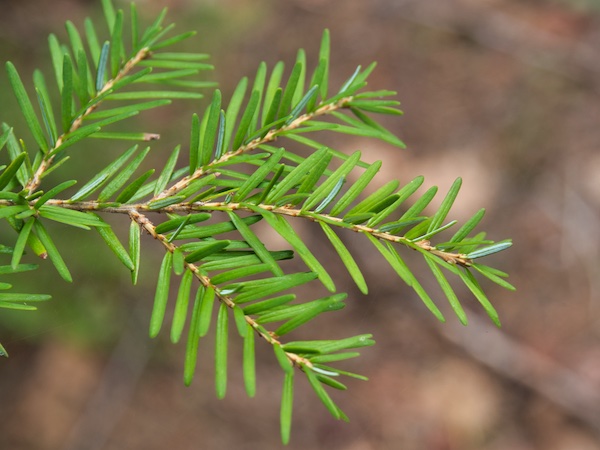
Check out the understory and one future for this forest. I found western white pine and Douglas fir, which are intermediate in shade tolerance. To my surprise, there are many shade-tolerant species alive and doing well. These included: grand fir, Engelmann spruce, subalpine fir, western hemlock, and western red cedar. The stage is set for the later stages of forest succession.
Click or Tap Pictures for more information.


If you visit this path in June, there will be bear grass blooms appearing like puffs of white smoke among the trees. Huckleberries are a bonus later in the summer. However, bears are known to visit this area. So, don’t leave your bear spray in the car.
A Trail with Options
The three-mile round trip starts out in a southwest direction from the trailhead near the Backcountry Permit Office. It soon crosses the Camas Road. At about one-half mile, there is a short spur trail leading to the Ox-Bow Overlook on McDonald Creek. The trail course changes to the southeast and does not veer right or left for over a mile. The makers were efficient in getting from point A to point B. As near as I can tell, this is the old road way from the Belton Bridge to Apgar.
The path crosses the Glacier Institute Road at 1.4 miles and ends at the Going-to-the-Sun Road 1.5 miles from the trailhead in Apgar Village.
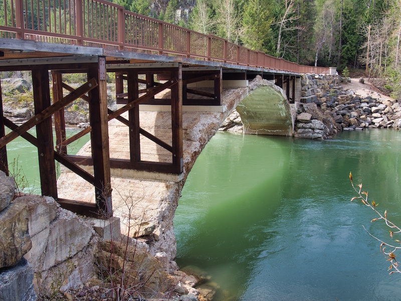
Extend the trip by continuing on the path another one-half mile to the intersection of Grinnell Drive and Mather Drive in the Glacier National Park Headquarters area. Walk or ride about one-quarter mile to the end of Mather Drive. There you will find a gravel path, the beginning of the South Boundary Trail, that proceeds down an embankment and then upstream along the Middle Fork of the Flathead River reaching the Belton Bridge at 2.75 miles from the Apgar trailhead. Believe it or not, this was the original entrance into Glacier National Park.

There can be a lot of action here during rafting season. Have a snack and take a few pictures down along the river before the return trip. Or, continue across the bridge and follow the road into West Glacier.
Glacier National Park Guidebooks
Maximize Your Adventure: Learn about the diverse recreational opportunities available along the Going-to-the-Sun Road, including hiking, biking, boating, and more. A small price to pay for endless outdoor experiences.
From Novice to Expert, We’ve Got You Covered: For the price of a huckleberry shake, you’ll have everything you need to plan and execute your adventure in Glacier National Park’s east side.
