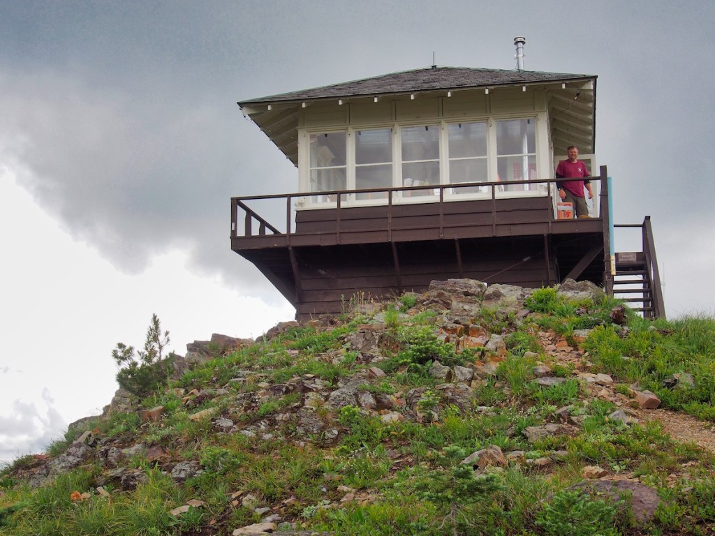
Tag: North Fork Region
-
The Kishenehn
Trailhead This hike is in the extreme northwest corner of Glacier National Park. To access it, drive to Polebridge, Montana, cross the bridge over the North Fork of the Flathead River, and arrive at the Polebridge Entrance Station. From May 24 to September 8, 2024, vehicle registrations were required to…
-
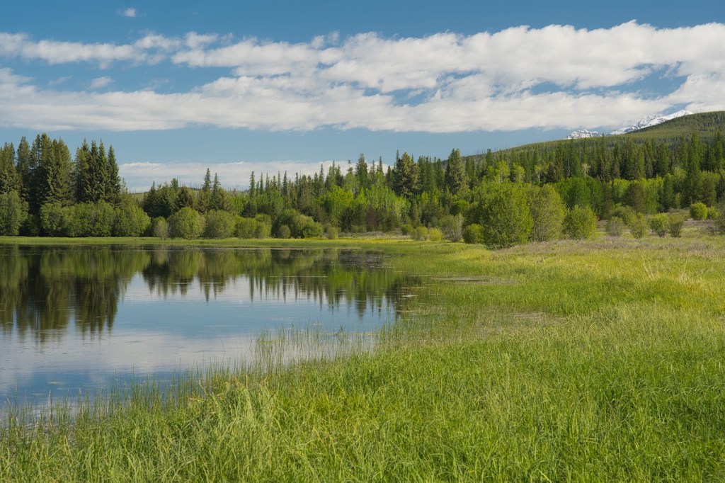
Hidden Meadow
Trailhead From the North Fork entrance station, turn right onto the Inside North Fork Road. Drive three miles and look for the Lone Pine Prairie sign on the right. Just before the sign, you will find a small parking area. The trailhead is across the road to the left. Hike…
-
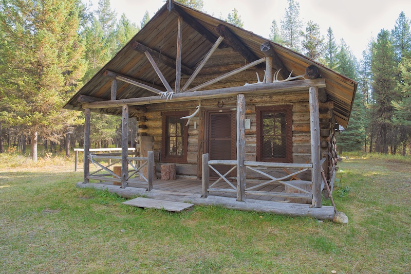
Covey Meadow
Part of the fun of exploring Glacier National Park is connecting the places I visit with their history. This hike passes through the southern part of a pre-park, 135-acre homestead that was worked by a couple of colorful characters. Trailhead After passing through the North Fork entrance station, turn right…
-
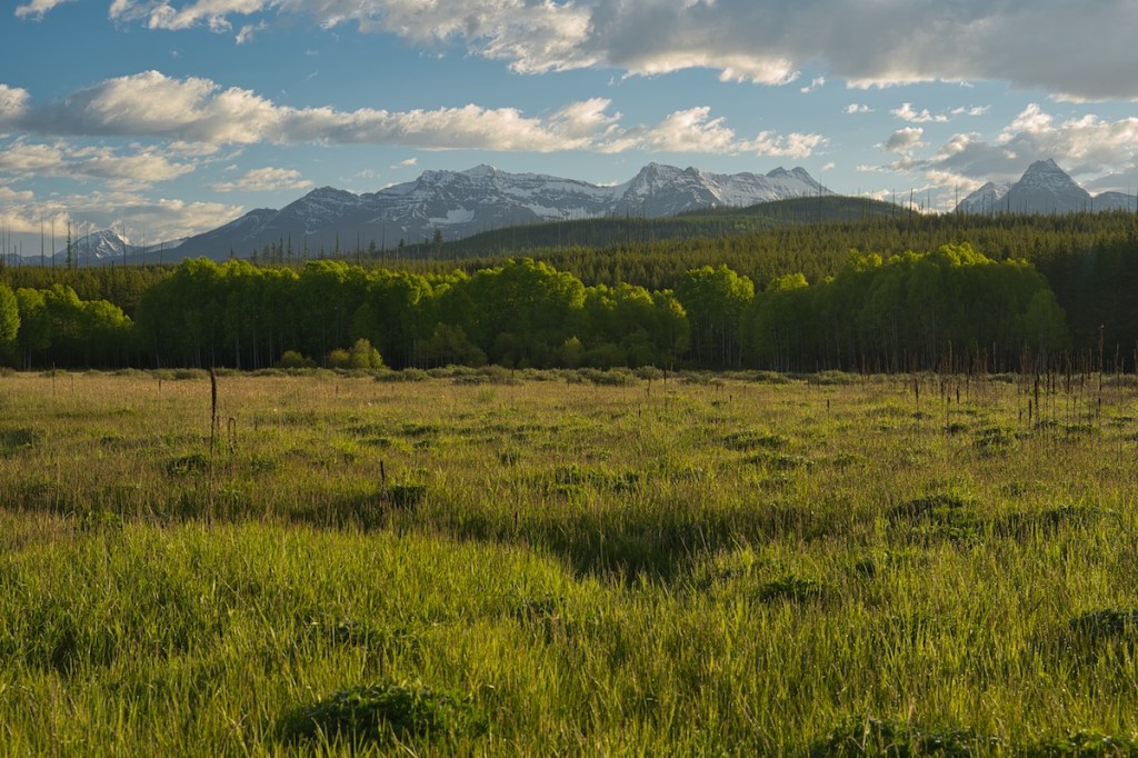
Quartz Lake Loop Hike
A trip through old growth forest to three crystal clear mountain lakes with views of magnificent peaks.
-
Kintla Lake to Goat Haunt
An adventure for the books! The 31-mile land segment of our journey started in the northwest corner of Glacier National Park and followed the Boulder Pass Trail to Goat Haunt in the north-central region of the park. From there we motored about 7 miles north on Waterton Lake to the…