Tag: Walton Region
-
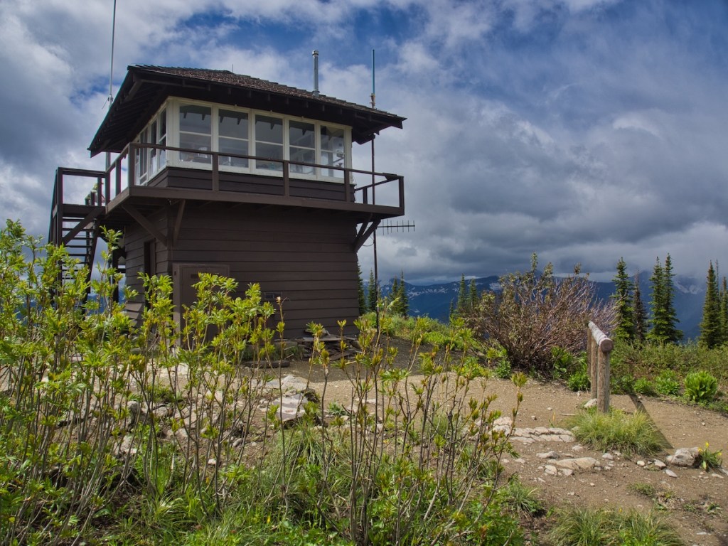
Scalplock Mountain
Location The trail to Scalplock Mountain and its fire lookout tower begins near the Walton Ranger station in the southern part of Glacier National Park. From West Glacier, drive 28 miles east on U.S. Highway 2. The entrance to the Walton station is about one mile east of Essex, Montana,…
-
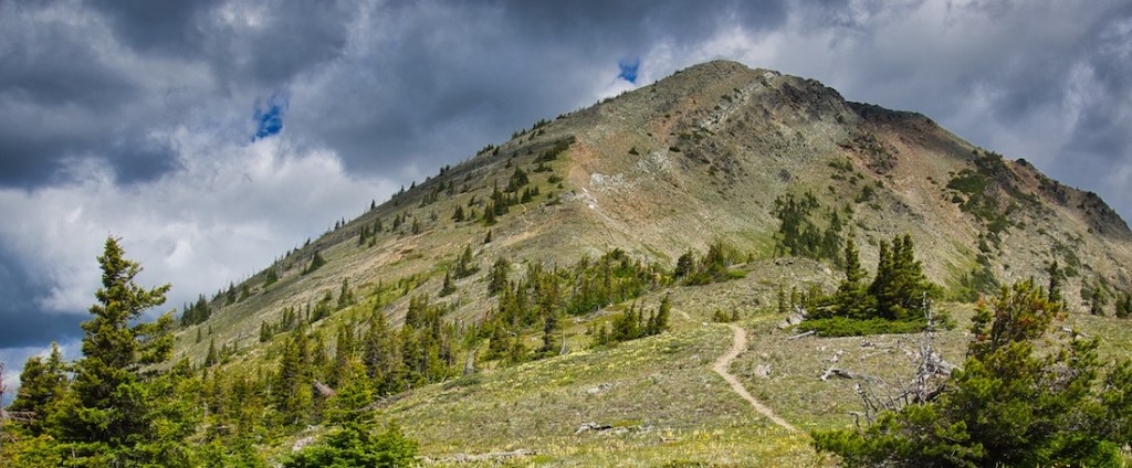
Elk Mountain
Elk Mountain (7,835 feet) rises in the southern part of Glacier National Park west of Marias Pass. This hike is 6.8 miles round trip with an elevation gain of 3,373 feet. Even though the snow leaves this trail early, it might not be the best choice for the first trip…
-
Harrison Lake
If you are looking to take a trail less traveled, this hike may be for you. The Glacier National Park Citizen Science Project for mountain goat monitoring was my reason for going to Harrison Lake and I was not disappointed. Memories of the trip still bring a smile to my…
