Category: Glacier National Park Hiking
-
Glacier’s Beauty
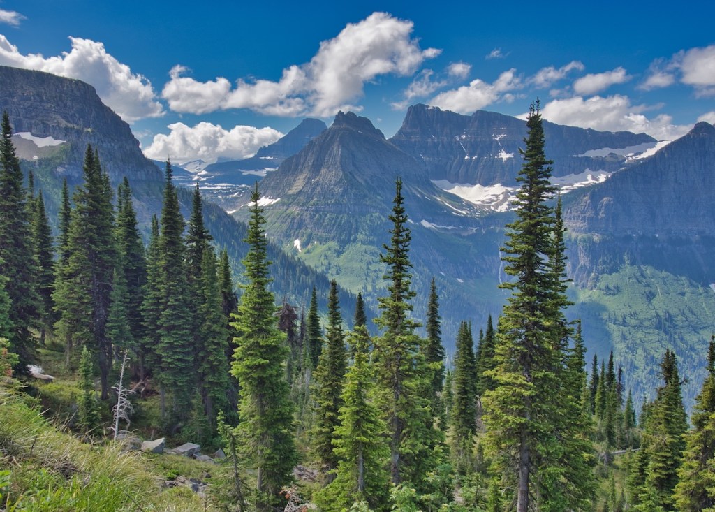
I’m switching it up for this post. Rather than describing a hike, I’ve posted a few of my favorite photographs. Hope that you enjoy them.
The Crown of the Continent
I’m switching it up for this post. Rather than describing a hike, I’ve posted a few of my favorite photographs. Hope that you enjoy them.

