East Side
-
Belly River Ranger Station
Finding the Trailhead The trail to the Belly River Ranger Station is in the extreme northeast region of Glacier National Park. From the intersection of the Many Glacier Road (Glacier Route 3) and U.S. Highway 89, drive 4.3 miles north on U.S. Highway 89. Turn left on Montana Highway 17…
-

Cobalt Lake
This beautiful hike is in the scenic Two Medicine Region of the southeast part of Glacier National Park. Trailhead The hike begins south of the parking lot near the Two Medicine Camp Store. Head south past the boat dock for a short distance to find the South Shore Trail. This…
-
Oldman Lake
This hike is worthy of your consideration in June when Dawson and Pitamakan Passes are still snowed in. If you are taking on the Dawson Pitamakan Loop later in the summer, it only adds 0.8 miles to include the lake as a quick side trip. Trailhead This hike is on…
-
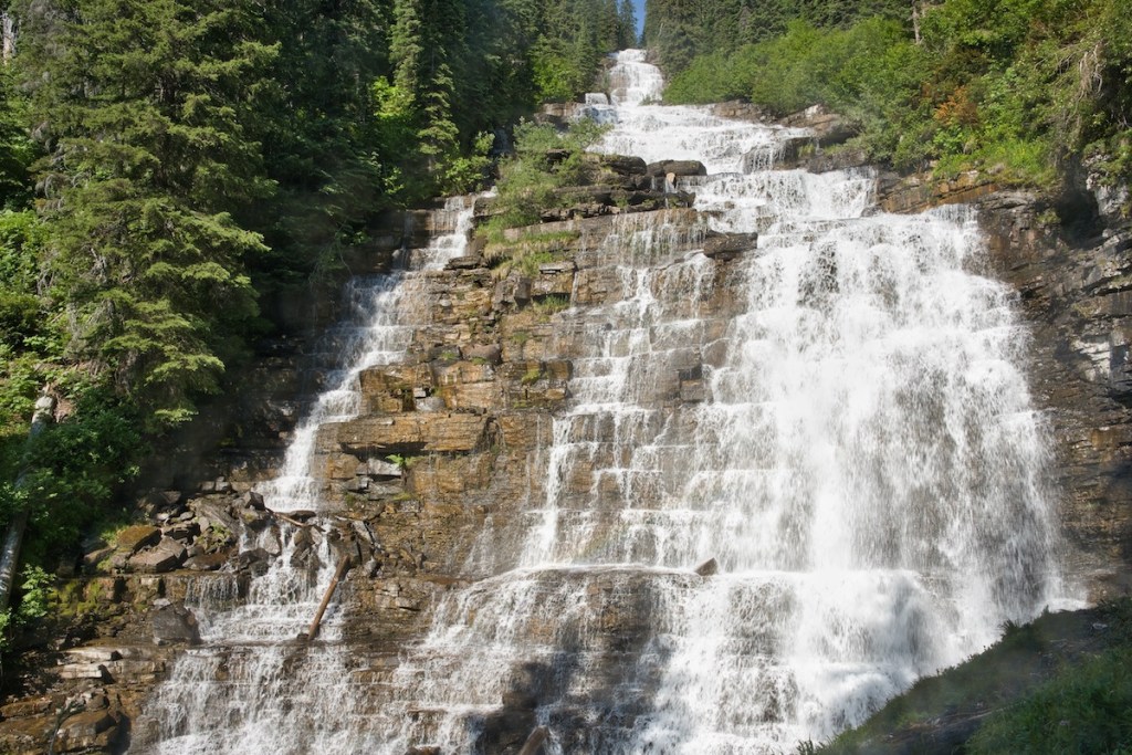
Otokomi Lake
Embark on a stunning ascent along Rose Creek, witness nature’s resilience after a wildfire, enjoy waterfalls and discover the beauty of Otokomi Lake.
-
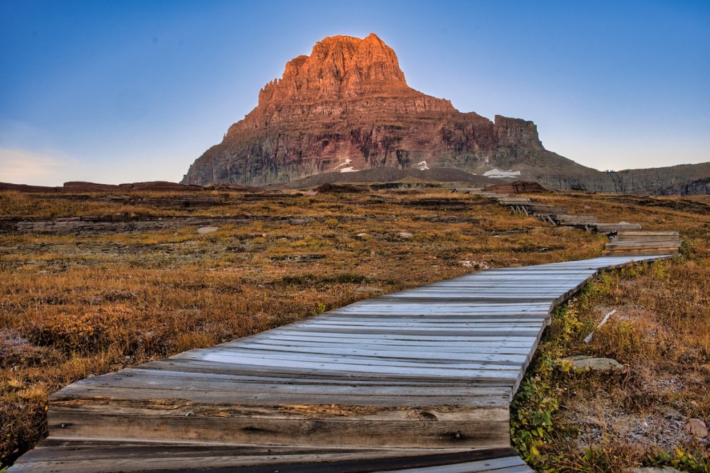
Hidden Lake
The popular Hidden Lake Trail begins at Logan Pass–the highest point on the Going-to-the-Sun Road as it crosses the Continental Divide. It doesn’t matter how many times I’ve driven the 32 miles from West Glacier or 18 miles from Saint Mary, I always feel a sense of elation and warn…
-

Morning Star Lake
Getting There The Cut Bank area is east of the Continental Divide in the northern part of the Two Medicine Region and south of the Saint Mary Region. Below are three driving routes to the road leading into Cut Bank. It’s important to note the first four of five miles…
-

Beaver Pond Loop
This path is perfect for hikers who are looking for an adventure in the early or later parts of the year. If you’re an individual who loves to get out and enjoy snowshoeing or cross-country skiing, the Beaver Pond Loop is definitely an option. Remember the mantra: This is grizzly…
-
Highline Trail & Granite Park Chalet
This is a hike that you will not soon forget. It has it all. Glacially carved peaks and valleys, meadows loaded with wildflowers, bighorn sheep, mountain goats, occasional grizzly bears, hoary marmots, coyotes, and the tiny chance early or late in the season of wolverines. And, some of the oldest…
-
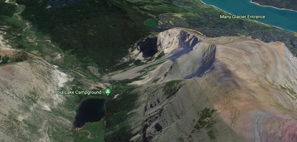
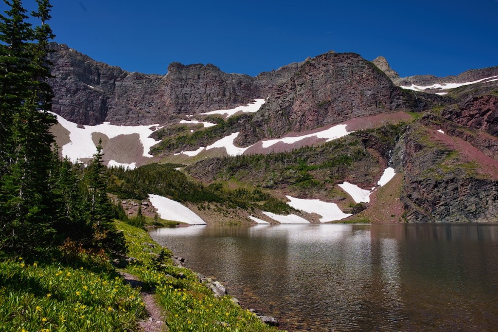
Poia Lake
Poia Lake, named after a hero in Blackfeet mythology, is a beautiful 30-acre body of water lying at an elevation of 5,800 feet near the transition zone of subalpine to alpine in the Kennedy Creek drainage. Choose the challenging out and back hike, a mellow overnighter, or travel on the…