Author: Tom Berquist
-
The Kishenehn
Trailhead This hike is in the extreme northwest corner of Glacier National Park. To access it, drive to Polebridge, Montana, cross the bridge over the North Fork of the Flathead River, and arrive at the Polebridge Entrance Station. From May 24 to September 8, 2024, vehicle registrations were required to…
-
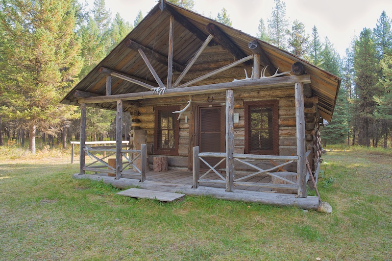
Belly River Ranger Station
Finding the Trailhead The trail to the Belly River Ranger Station is in the extreme northeast region of Glacier National Park. From the intersection of the Many Glacier Road (Glacier Route 3) and U.S. Highway 89, drive 4.3 miles north on U.S. Highway 89. Turn left on Montana Highway 17…
-
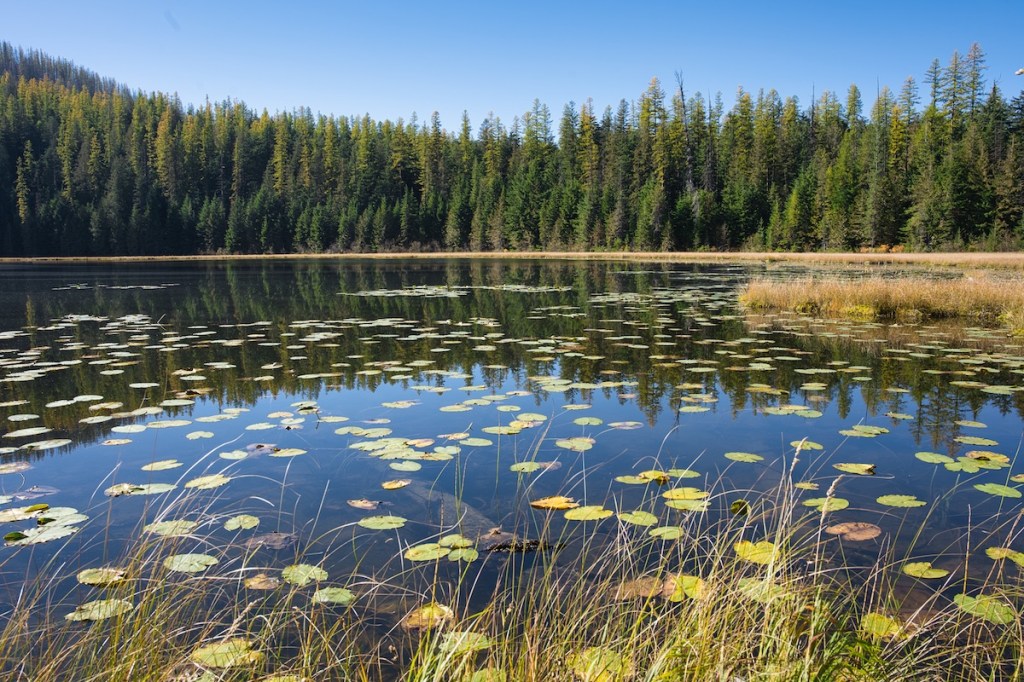
Fish Lake
Trailhead This hike begins near Lake McDonald Lodge 9.9 miles from the west entrance or 38.3 miles from the east entrance. Use the lodge parking lot near the Going-to-the-Sun Road and then look for the Sperry Trail across the road. Hike Summary Total Distance: 5.4 miles Total Elevation Gain: 1,152…
-

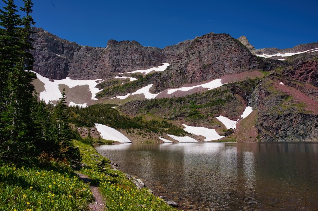
Cobalt Lake
This beautiful hike is in the scenic Two Medicine Region of the southeast part of Glacier National Park. Trailhead The hike begins south of the parking lot near the Two Medicine Camp Store. Head south past the boat dock for a short distance to find the South Shore Trail. This…
-
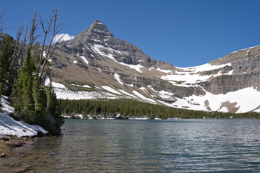
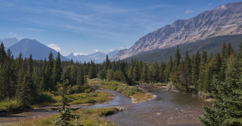
Oldman Lake
This hike is worthy of your consideration in June when Dawson and Pitamakan Passes are still snowed in. If you are taking on the Dawson Pitamakan Loop later in the summer, it only adds 0.8 miles to include the lake as a quick side trip. Trailhead This hike is on…
-
Hidden Meadow
Trailhead From the North Fork entrance station, turn right onto the Inside North Fork Road. Drive three miles and look for the Lone Pine Prairie sign on the right. Just before the sign, you will find a small parking area. The trailhead is across the road to the left. Hike…
-
Covey Meadow
Part of the fun of exploring Glacier National Park is connecting the places I visit with their history. This hike passes through the southern part of a pre-park, 135-acre homestead that was worked by a couple of colorful characters. Trailhead After passing through the North Fork entrance station, turn right…
-
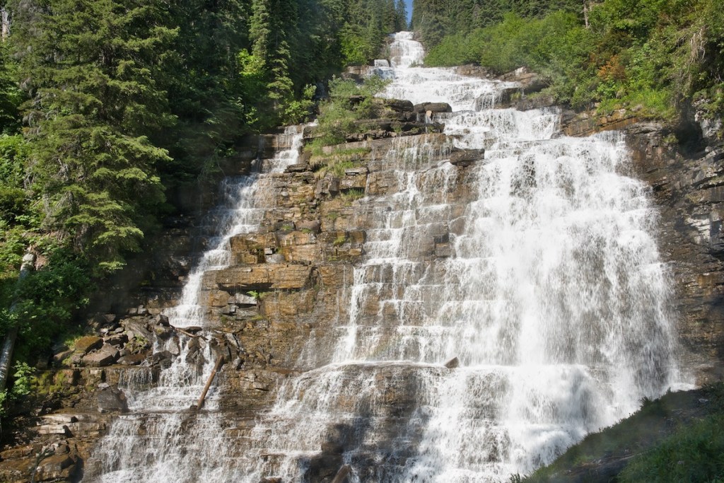
Otokomi Lake
Embark on a stunning ascent along Rose Creek, witness nature’s resilience after a wildfire, enjoy waterfalls and discover the beauty of Otokomi Lake.
-
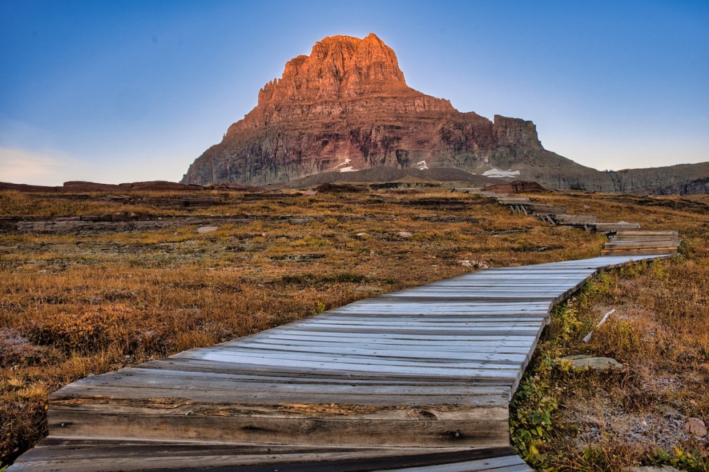
Hidden Lake
The popular Hidden Lake Trail begins at Logan Pass–the highest point on the Going-to-the-Sun Road as it crosses the Continental Divide. It doesn’t matter how many times I’ve driven the 32 miles from West Glacier or 18 miles from Saint Mary, I always feel a sense of elation and warn…